
Tree Mapping
Tree plotting and mapping is important to precisely locate trees for maintenance and development. Especially in places like reserves, schools, and parks where tree health and upkeep is critical for public safety, and where development is planned to ensure trees are not damaged.

mapping and surveying
We’ll accurately plot your trees onto a scaled site plan that includes crown spreads, species identification, heights, condition, and dimensions. Depending on what your project needs, we’ll plot tree locations with GPS and onto electronic maps which can be uploaded to GIS or CAD, or we can do manual measurements and sketch your maps.
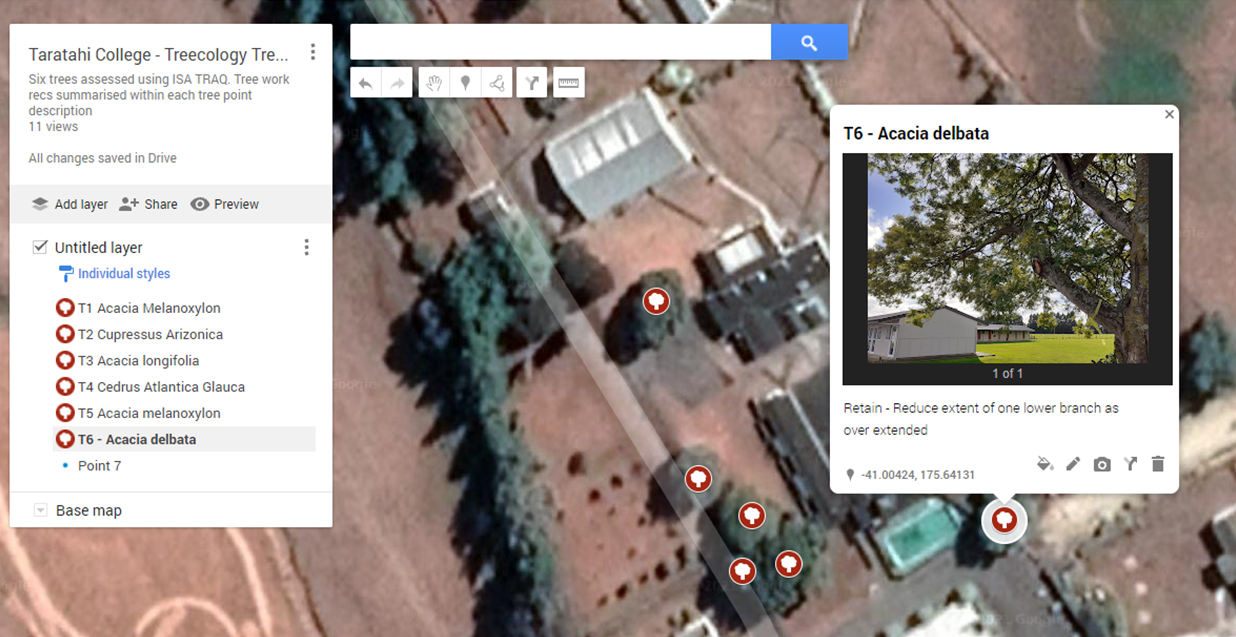
Taratihi college tree risk assessments
Taratihi Agricultural College near Masterton was concerned about the safety of large trees on the grounds. We undertook formal Tree Risk Assessments for each tree using the ISA TRAQ process. Each tree was given a risk rating and specific risk mitigation work recommended if required. Tree locations were mapped with tree work recommendations and photos onto a downloadable GIS map.